
Facets
Browse across eight MeSH (opens in new tab) facets — era, geography, science, specialty, technology, history, culture, and reference. Select one tag per group; counts update across the others.
Clear filtersFacet filters
Geography
Specialties & Disease
- Anatomy & Pathology 0
- Cardiology & Blood 0
- Neurology & Psychiatry 0
- Obstetrics & Reproductive 0
- Infectious Disease (General) 0
- Surgery & Anesthesia 1
- Public Health 1
- Immunology & Dermatology 1
- General Clinical Medicine 3
- Military Medicine 2
- Psychology 0
- Alternative & Fringe Medicine 0
- Pediatrics 0
- Ophthalmology & Vision 0
- ENT & Hearing 0
- Urology & Nephrology 0
- Gastroenterology & Hepatology 0
- Pulmonary & Respiratory 0
- Rheumatology, Rehab & Pain 0
- Internal, Emergency & Geriatric 0
- Veterinary Medicine 0
- Epidemiology & Demography 1
- Physiology & Embryology 0
- Dentistry 0
- Plagues & Epidemics 3
- Microbiology & Virology 0
Social & Historical Studies
Institutions & Culture
Reference & Scholarly Works
Drugs & Technology
3 entries match United States [Z01.058] · Plagues & Epidemics [C01.252] · Diagnostics & Imaging [E01]
1819 CE
#10456
A statement of the occurrences during a malignant yellow fever in the city of New-York, in the summer and autumnal months of 1819; and of the check given to its progress, by the measures adopted by the Board of Health. With a list of cases and names of sick persons, and a map of their places of residence within the infected and proscribed limits: With a view of ascertaining, by comparative arguments, whether the distemper was engendered by domestic causes, or communicated by human contagion from foreign ports.
Pascalis mapped this yellow fever outbreak using a method similar to Valentine Seaman, but with a more extensive and detailed list of cases. A condensation of his 60-page pamphlet with a reissue of his map appeared in…
1797 CE
#7687
An inquiry into the cause of the prevalence of the yellow fever in New-York.
Includes four early plot maps; Seaman was one of the first to create maps that attempted to show the spread of contagious disease.
1871 CE–1872 CE
#10585
Photographic review of medicine and surgery. A bi-monthly illustration of interesting cases, accompanied by notes. Edited by F.F. Maury [and] L.A. Duhring. Vols. 1 & 2 (All published).
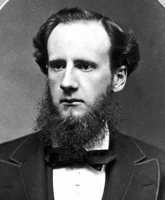
The leading 19th century American publication of artistic medical photography. Each of the two volumes includes 24 mounted photographs. The photographs ilustrate cases of unusual and extreme disease, such as gross def…